What We Do
Get to Know Groundwater
Groundwater is the lifeblood of the Amargosa. But why is it so important? And how do humans have an impact?

The Quick and Dirty
In the harshest desert in North America, it all comes down to water. The reason our region is so unique and irreplaceable is because it is rich with groundwater resources.
Amargosa Conservancy
A vast carbonate aquifer underlies the Amargosa Basin, bubbling forth at springs from the Oasis Valley and Amargosa Valleys in Nevada to the Shoshone-Tecopa corridor to Saratoga Springs and its final journey to Badwater.
The Amargosa drainage has been heavily impacted by tamarisk over the years, much to the detriment of the native vegetation and the birds and animals it supported. Starting about ten years ago the Amargosa Conservancy, working with the BLM and the Nature Conservancy began a concerted effort to remove tamarisk along the Amargosa River, starting in Shoshone and working downstream, as well as at China Ranch.
Each of these springs harbors the amazing life that has made the Amargosa one of the most biodiverse locations in the Western Hemisphere. The plants and mammals, birds and fish that call these springs home lie in a delicate balance between water and desert. Even the slightest perturbations can substantially alter the spring habitats, and imperil species with the smallest of distributions.
A typical discussion about a watershed will describe the path of surface runoff. But the Amargosa Watershed is much more complex. While the hyper-aridity of the region means that surface runoff contributes a negligible amount to the hydrologic system, we sit on top of an enormous aquifer, and thus groundwater discharge at springs is the primary source of our water.
As a result, we focus on what happens to our groundwater. Where is it going? Who is using it? Are the springs which all life in the Amargosa depends on being affected by groundwater pumping, even at distant locales? These questions must be integrated to every land and water use policy which faces decision-makers in the northern Mojave Desert. A slight change in groundwater levels can have catastrophic effects on our endangered species.
For more information see these articles:

The Science
Due to the importance of groundwater for the River and local springs, we study the hydrology of the Basin extensively, trying to build a model of how the water flows, and keeping track of any changes to flow levels.
With the establishment of the Amargosa Wild and Scenic River in 2009, there arose a need to better understand the hydrological structure of the Basin – identifying where the water for the river comes from and how increasing industry and populations nearby might affect the flow of the river.
Thus came the State of the Basin Report. First published in 2012 and updated in 2014 and again in 2020, this comprehensive report came from years of data collection and analysis.


What information is in the State of the Basin Report (SOBR)?
• Update of work conducted since the 2012 SOBR.
• Up-to-date hydrologic information and a current, real-time snapshot of water resource conditions in the Middle Amargosa Basin area.
• Recommendations for long term monitoring and resource management for inclusion in a management plan for the Amargosa Wild & Scenic River (WSR).
Why is the SOBR important?
• The Bureau of Land Management is developing a management plan for the Wild and Scenic portion of the Amargosa River.
• The SOBR provides the hydro-geologic characterization of the basin, which will inform the management plan to assure that monitoring is conducted in a meaningful way (and before potential irreversible impacts from future groundwater development occur).
• There have been few regional hydro-geologic investigations in the California portion of the basin, unlike the Nevada portion of the Amargosa River Basin that has been well-studied.
Background Information about the Amargosa River Basin
- The Amargosa River Basin, which spans two states, three counties and one National Park, is one of the most important desert waterways in the southwestern United States.
- In the Northern Amargosa River Basin groundwater is already over-allocated. Although pumping does not currently take place at the full amount entitled to by water rights holders, considerable impacts to the groundwater reservoir and associated springs could occur should those holders eventually fully exercise their water rights.
- Groundwater usage within the Northern Amargosa River Basin has steadily increased over the past 25 years, and the addition of a new industry to the area (solar) will likely provide additional pressure on the groundwater resource.
- Except for portions of the river in the Amargosa Canyon area in California, and near Beatty, Nevada, the Amargosa River typically flows only after periodic storms.
- In those areas where the river is usually dry, the flow of water, where present, is in the subsurface.
- The river is a groundwater-fed surface water body, and relatively small variations in the groundwater surface elevation can have considerable effects on the ability for the river to maintain surface flow.
- The Amargosa River Basin, shown in the figure below, can be subdivided into three basin areas:
Northern Amargosa Groundwater Basin (Nevada);
Middle Amargosa Valley Groundwater Basin (California); and
Death Valley Groundwater Basin (California –Nevada) - This report focuses on the Middle Amargosa Valley River Basin, an area encompassing nearly 1,000 square miles.
SOBR Data
- Spring flow, river flow, and groundwater level monitoring data were collected from the Middle Amargosa River Basin.
- Springs, well, and river locations were documented (shown below):
- Isotope sampling was conducted in selected springs in the Tecopa area.
- Seepage run monitoring was conducted on the stretch of the Amargosa River from Tecopa to the Dumont Dunes.
- Basic water quality data were also collected at all discharge, elevation and seepage run monitoring points.
SOBR Results/Conclusions
- The source of heat in the local thermal springs in the Amargosa Basin is likely deep circulation of water along deep-seated faults as opposed to the presence of a shallow heat source.
- Decreases in groundwater level and associated underflow in the northern Amargosa basin and Pahrump Valley (both in Nevada) could affect springs in the Middle Amargosa Basin and the Amargosa River fed by those springs.
- An effective monitoring program for the WSR will include sites well away from the Amargosa River, due to the unique hydrology and expansive area that contributes to the river.
- Stable isotope and other geochemical data indicated that Middle Amargosa River area groundwater appears to be a mixture of Ash Meadows, Spring Mountains and Kingston Range sources. Flow paths likely include one or more of the following:
- Spring Mountain recharge moving toward Ash Meadows through carbonate rocks and basin fill, then southward toward the Shoshone-Tecopa area;
- Via carbonate rocks at the north end of the Nopah Range into Chicago Valley then toward the Amargosa Valley; and,
- From Pahrump Valley via the shallow divide into California Valley then toward the Amargosa River.
SOBR Recommendations
- Monitoring (including hydrologic monitoring, visual monitoring, and monitoring current and potential water use);
- Future investigative work (including new monitoring wells, geophysics and additional geochemical studies);
- The development of a management tool (i.e. groundwater flow model); and,
- Recommendations for an adaptive approach to management of the Amargosa WSR that is flexible enough to evolve with our ever-growing knowledge of the Amargosa River and the groundwater system that feeds it.
From our blog: GROUNDWATER
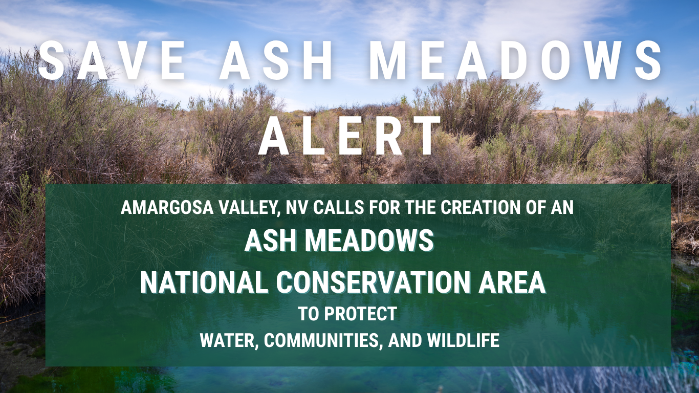
SAVE ASH MEADOWS ALERT — Amargosa Valley, NV calls for creation of Ash Meadows National Conservation Area
Amargosa Valley Calls for Creation of an Ash Meadows National Conservation Area THURS. MARCH 26TH, 2026 -- AMARGOSA VALLEY, NV On Thursday, March 26, the Amargosa Valley Town Board took a historic step toward protecting the lands and waters that sustain their...
2026 Amargosa State of the Basin Report
This 2025 State of the Basin Report (SOBR) was prepared by Roux Associates, Inc. (Roux) on behalf of the American Bird Conservancy (ABC) as part of a much larger effort that is being conducted between ABC, the Amargosa Conservancy (AC), California Botanical Garden,...
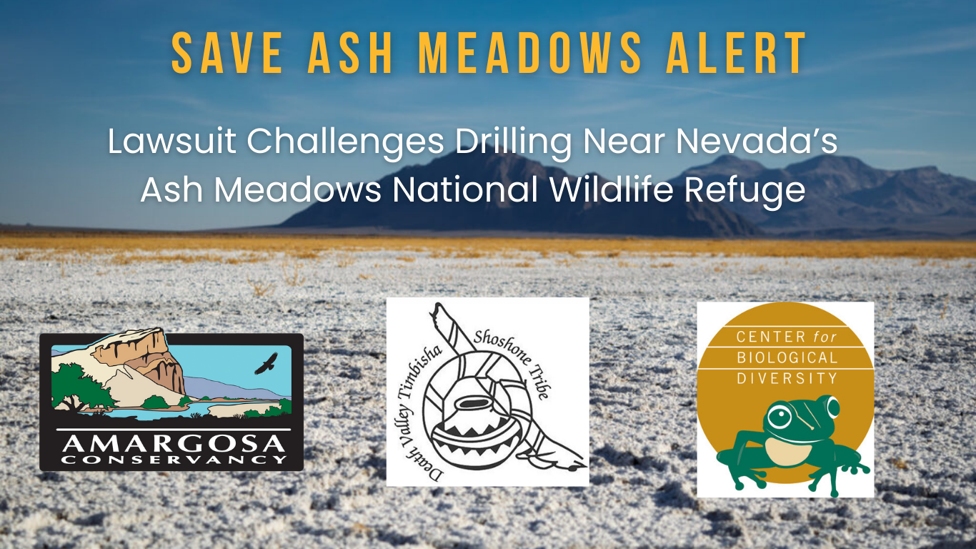
SAVE ASH MEADOWS ALERT: Lawsuit Challenges Drilling Near Nevada’s Ash Meadows National Wildlife Refuge
For Immediate Release, February 4, 2026 Contact: Mason Voehl, Amargosa Conservancy, (507) 830-0238, mason@amargosaconservancy.org Patrick Donnelly, Center for Biological Diversity, (702) 483-0449, pdonnelly@biologicaldiversity.org Lawsuit Challenges Drilling...
Snapshots of the Lower Carson Slough
Author Josh Jackson’s The Enduring Wild invites readers to explore California’s forgotten BLM lands, including the Amargosa River—revealing their beauty, fragility, and urgent need for protection.
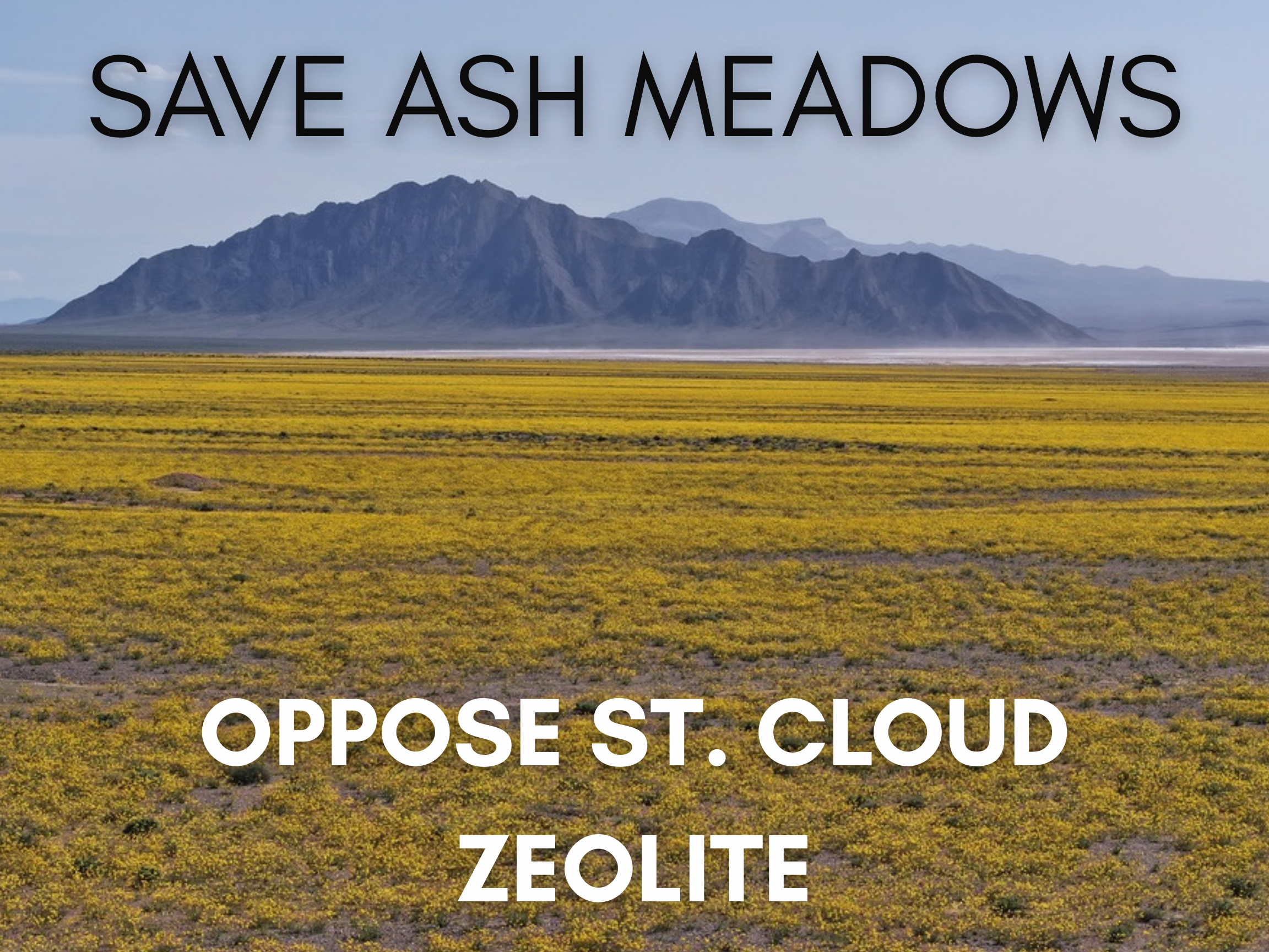
Ash Meadows Threatened Once Again: What’s at Stake with the St. Cloud Mining Project Approval
By Mason Voehl Campaigns Director Amargosa Conservancy Over the past few years, the communities of the Amargosa Basin could not have made themselves any clearer: we will not abide by predatory extraction projects that put Ash Meadows at risk in the name of profit. And...
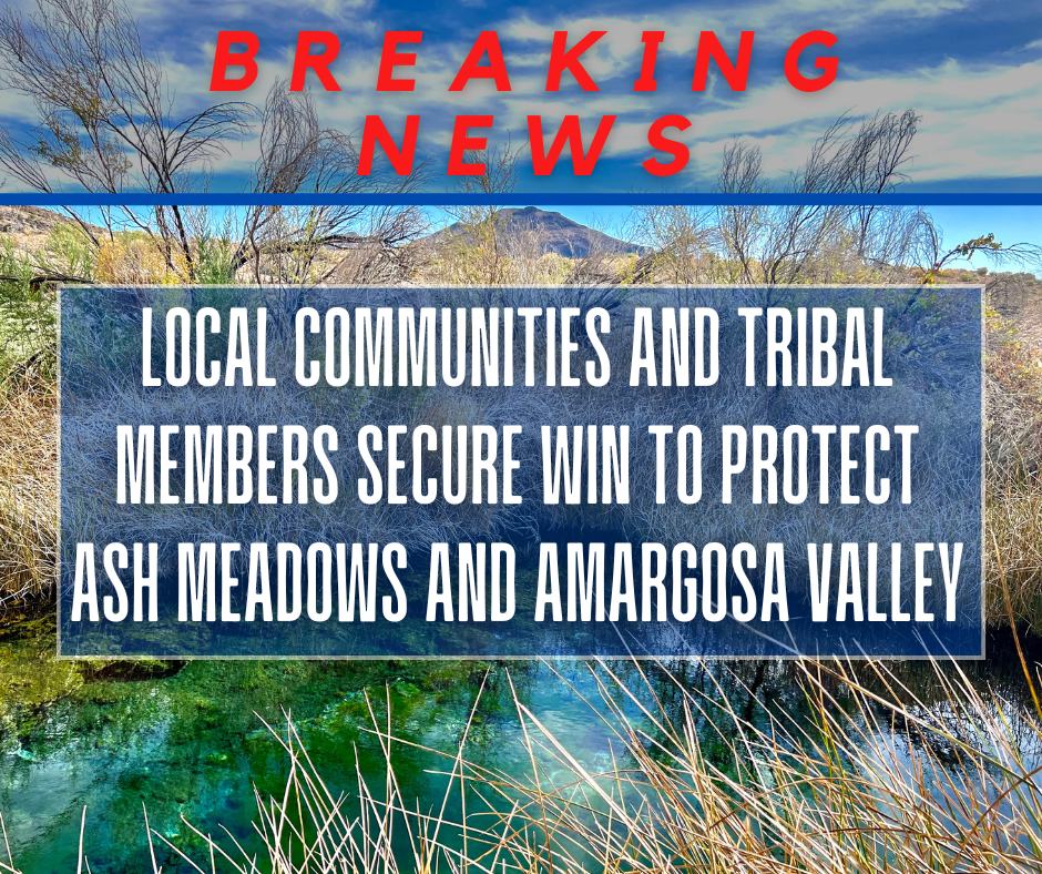
FOR IMMEDIATE RELEASE: Local Communities and Tribal Members Secure Win to Protect Ash Meadows and Amargosa Valley
FOR IMMEDIATE RELEASE: JANUARY 14, 2025 MEDIA CONTACT: Mason Voehl, mason@amargosaconservancy.org, (507) 830-0238 Local Communities and Tribal Members Secure Win to Protect Ash Meadows and Amargosa Valley A Critical First Step to Safeguard Sacred Lands and Water...