AMARGOSA CONSERVANCY
Working toward a sustainable future for the Amargosa River and Basin through Science, Stewardship, and Advocacy.
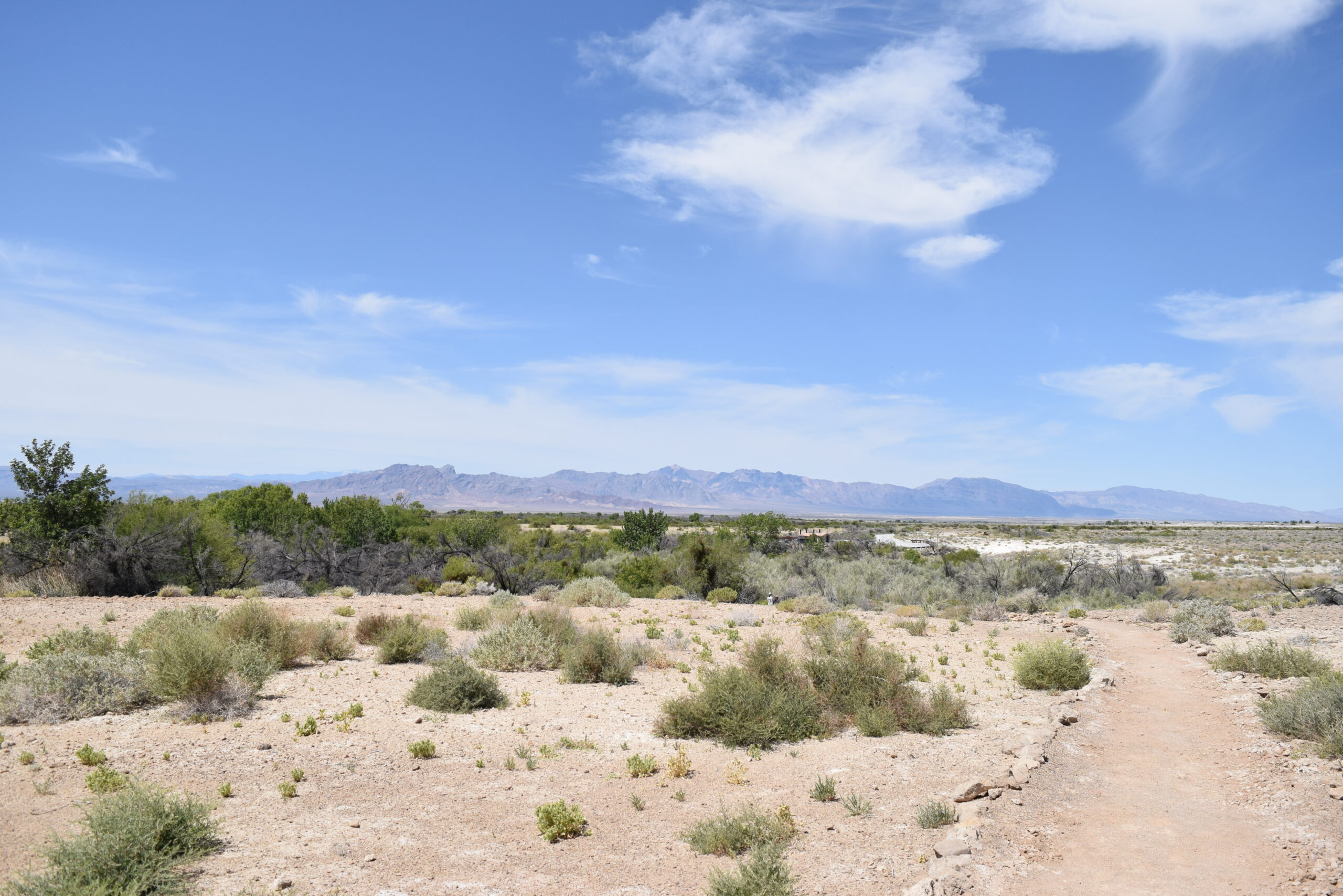
From its headwaters in the Oasis Valley north of Beatty, Nevada, the Amargosa River flows in a southerly direction for 180 miles in the northern Mojave Desert. Near Dumont Dunes, it makes a U-turn and heads north into Death Valley National Park, finally terminating in Badwater Basin, the lowest point in the United States.
The Amargosa is a river of groundwater. It flows mostly underground but surfaces in a few places: in Beatty and from Shoshone, California through Tecopa and into the Amargosa Canyon south of Tecopa, California. This section in California is designated as a Wild and Scenic River. During large rainstorms, the entire course of the river will flow above ground.
In one of the hottest and driest places anywhere, the river and associated springs provide islands of water that support a variety of plants and animals. Many of these organisms are unique to the area – or endemic – meaning they can’t be found anywhere else on earth.
HIGHLIGHTS
Explore
Visit the Amargosa Basin.
From birding to botany,
hiking, and off-highway adventures
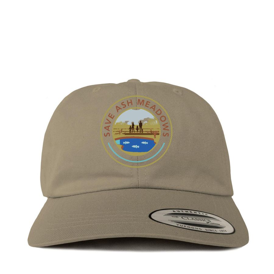
Save Ash Meadows from the harms of mining
Ash Meadows National Wildlife Refuge is the largest oasis in the Mojave Desert and the beating heart of the Amargosa River watershed. Join us in the fight to save it from the harms of mining on its doorstep!
DONATE
You, as a donor,
are the heart of the Amargosa Conservancy.
Your tax-deductible donations provide the vital backbone which keeps the AC operating in the field, stewarding our incredible natural resources, and advocating for the land.


LATEST NEWS FROM THE BLOG
Rethinking the Desert: A Landscape of Abundance, Not Absence
By: Lindsey Stone, Plant Stewardship Coordinator “Desert is a loose term to indicate land that supports no man; whether the land can be bitted and broken to that purpose is not proven. Void of life it never is, however dry the air and villainous the soil" -...

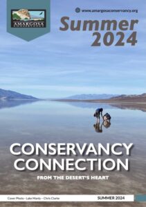
Amargosa Conservancy Connection Summer 2026
Summer 2026 issue of the Conservancy Connection newsletter is available in print and online! Featuring essays, current projects, and photos from the Amargosa Conservancy. Read PDF: Summer 2026 Conservancy Connection While you’re here, make sure to sign up for our...
The Charles Brown Outcrop
By: Holly Fischer I’ve driven between Las Vegas to the Amargosa River Basin countless times since becoming the Restoration Program Manager at the Amargosa Conservancy. There are many views on my drives that are beautiful, but there is one site that really...
