What We Do
Resource Monitoring
Borehole Spring, by Andy Zdon
We collect data on the Amargosa’s most unique and vulnerable resources.
The Amargosa Conservancy conducts regular scientific monitoring in our watershed to help gather knowledge and establish baseline data for the decision makers who manage our surrounding public lands.

We conduct periodic monitoring in the spectacular Kingston Mountain Range, reporting to the local BLM office about cattle populations, possible grazing problems, and vandalism and needed repairs to the simple facilities at the three public land springs in the range.
At Carson Slough, the outflow area for the Ash meadows National Wildlife Refuge, we conduct monthly groundwater elevation monitoring and plant health monitoring of the federally listed endangered Amargosa Niterwort.
This data is entered into the National Hydrologic Database and shared for public and scientific reference and research.


At the Tecopa Marsh, we conduct quarterly monitoring and report on the condition of bulrush habitat to the California Fish and Wildlife Service. This monitoring provides critical information for the study and protection of federally endangered Amargosa Voles that live in the wetland.
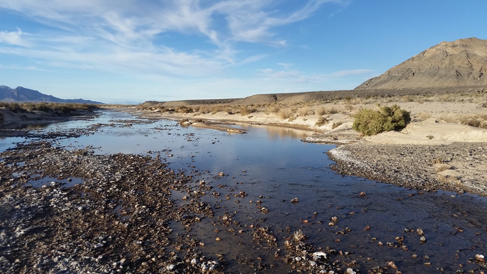
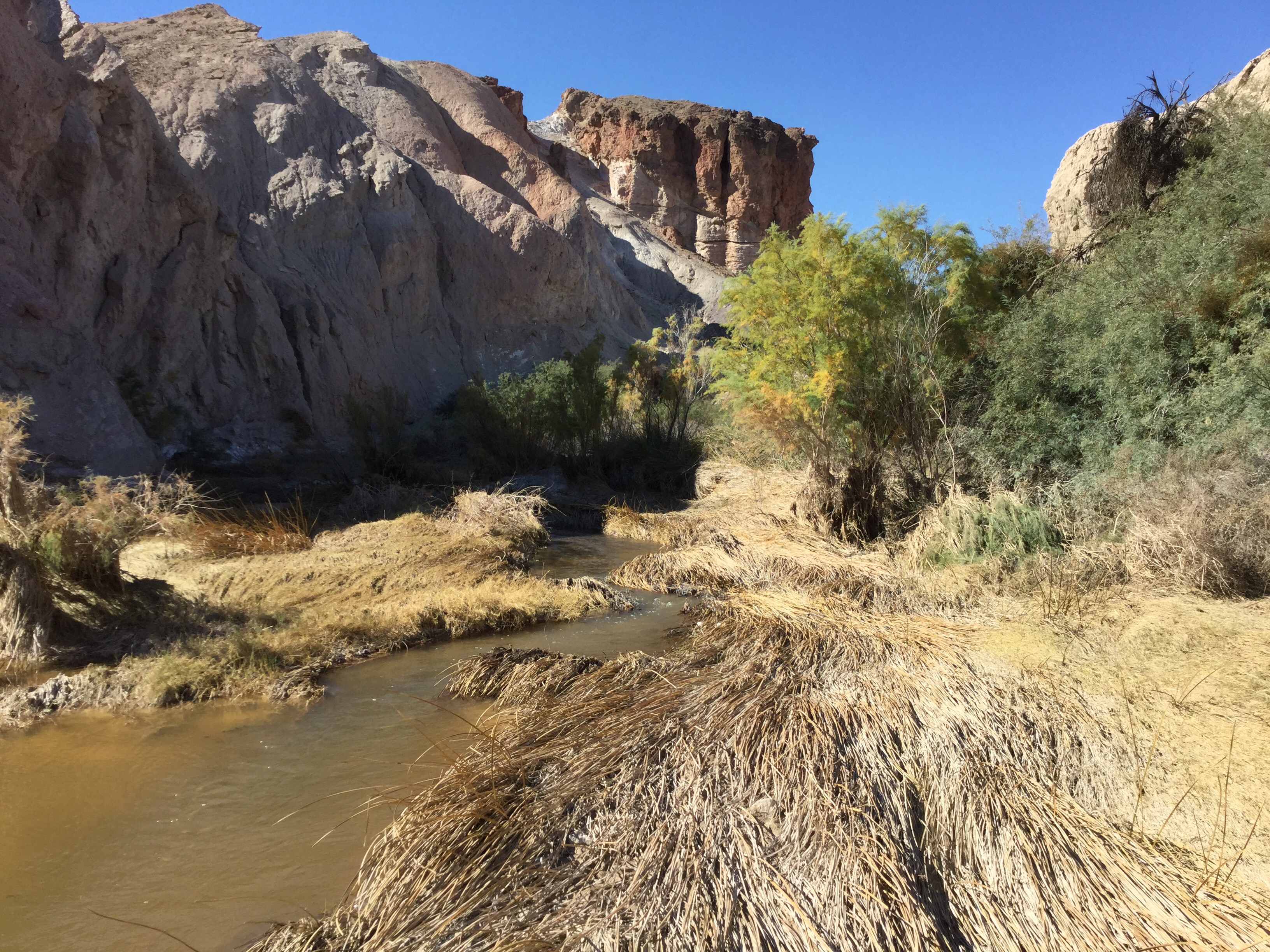
We conduct hydrologic monitoring at springs and groundwater wells throughout the Amargosa watershed. Water quality, water chemistry, and groundwater elevation data all provide critical information about the health of groundwater-dependent springs, as well as trends in groundwater levels throughout the basin.
Hydrologic monitoring data have been analyzed and interpreted in the State of the Basin reports.

From our blog: RESOURCE MONITORING
Stewardship on the Desert Conservation Lands Retrospective: Hydrologic Monitoring
In coming weeks, we expect the Bureau of Land Management to finalize the Desert Renewable Energy and Conservation Plan (DRECP), in which the public lands of the Amargosa Basin are likely to be designated at California Desert Conservation Lands. To celebrate, we are highlighting the decade-long partnership between the Amargosa Conservancy and the BLM to engage in stewardship on these lands
Small River, Big Waves
Two of our major areas of work were featured in a series on climate change produced by the Desert Sun and distributed via USA Today!