Science is and always will be a pillar of of the work our organization does to protect the Amargosa Basin.
For the last 20 years, Amargosa Conservancy has worked alongside local governments, state and federal agencies, non-profit partners, and researchers to develop and fun scientific studies and resources needed to better inform management of this incredible and highly sensitive desert watershed.
To this end, our organization partnered with Inyo County in 2016 to fund and produce a study of evapotranspiration of the Amargosa Basin conducted by the U.S. Geological Service.
On December 29th, 2023, the findings of this years-long study were published. We are confident that this study will meaningfully help inform how groundwater needed to support the biological and cultural values present in the Amargosa Wild & Scenic River is managed in the basin.
High-level summary:
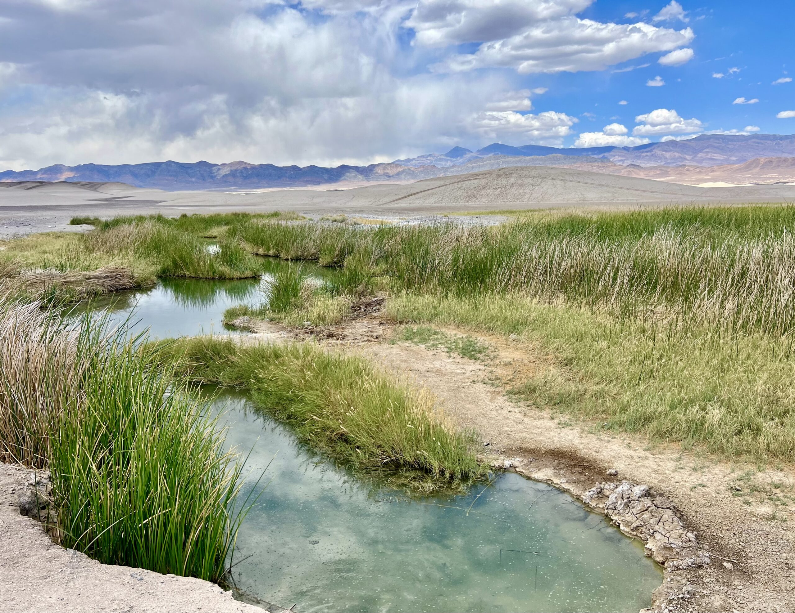
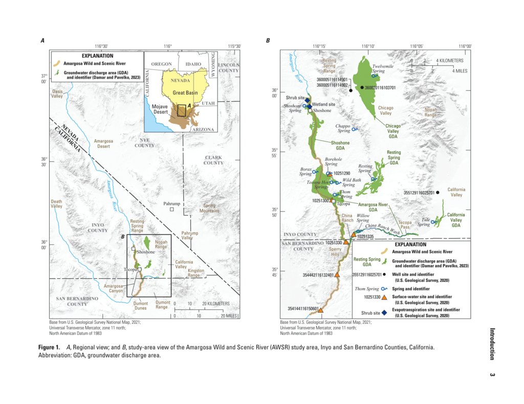
The Amargosa River, located in the Mojave Desert and the southwestern part of the Great Basin, is a vital waterway in the Death Valley region. Stretching about 300 kilometers, it flows from Oasis Valley, Nevada, to Death Valley, California. The river holds hydrological and biological significance, serving as the terminal discharge area for the regional groundwater flow system. This sustains riparian vegetation, rare desert habitats, and facilitates species distribution.
Designated as an Area of Critical Environmental Concern by the Bureau of Land Management (BLM), the Amargosa River is home to diverse biodiversity, including endemic, threatened, and endangered species. The river is also historically important, having provided water to indigenous people, explorers, pioneers, and miners. Recognizing its importance, the U.S. Congress included a segment of the Amargosa River in the National Wild and Scenic River System in 2009.
The Amargosa Wild and Scenic River (AWSR), managed by the BLM, covers a 54.4-km segment. It begins near Shoshone, California, flowing south through Tecopa and Amargosa Canyon. The AWSR is part of the Death Valley regional groundwater flow system, interconnected with nearby basins, making it susceptible to hydrologic changes. Concerns arise over continued groundwater withdrawals in Pahrump Valley and Amargosa Desert affecting the AWSR, potentially leading to reduced flow and negative impacts on habitats.
Concerns have emerged about potential harm from groundwater withdrawals in nearby areas, prompting a study by the U.S. Geological Survey. This study, conducted with local partners, estimates the yearly groundwater needed to sustain the river’s habitats and flow. It sheds light on the delicate water balance in the region and the potential impact of human activities on the Amargosa River.
To understand the study, it’s essential to know about “evapotranspiration.” This process involves the combined evaporation and transpiration of water from the Earth’s surface. In simple terms, it’s the way water returns to the atmosphere through evaporation from soil and plants. The study uses measurements of evapotranspiration to gauge how much groundwater is crucial for supporting the river’s ecosystem. This information helps us comprehend the delicate water dynamics and potential consequences for the Amargosa River.


