
By AC Member Laura Dye
A considerable body of scientific work highlights how climate change alters our landscapes. And while it is important to note the changes within the bounds of the Amargosa River Basin itself – warming temperatures, shifts in vegetation composition, changing weather patterns – we must also consider another critical piece of the system: declining mountain snowpack. Annual snowpack regulates drought, forest pest outbreaks, and wildfire frequency and intensity. Furthermore, snowmelt is strongly linked to streamflow generation, peak soil moisture, as well as groundwater recharge.
The Amargosa River Basin groundwater network is recharged from a combination of sources, one of which is the Spring Mountains’ carbonate aquifer in southern Nevada. A carbonate aquifer is essentially a body of permeable rock (in this case, limestone) that can store or transmit groundwater. The limestone rock formations at the Spring Mountains are suggested to have been deposited in shallow marine environments approximately 514-242 million years ago, during the Paleozoic Era. Because carbonate rocks are soluble in slightly acidic water, they began to fracture and erode over time, which provides a storage basin for the groundwater. This water can be brought to the surface naturally in a variety of ways, including, seeps, springs, or discharging into lakes or streams. This aquifer is primarily replenished by annual spring snowmelt. Thus, the linkage between the high-elevation mountain snowpack and the Amargosa River is one which should not be overlooked.
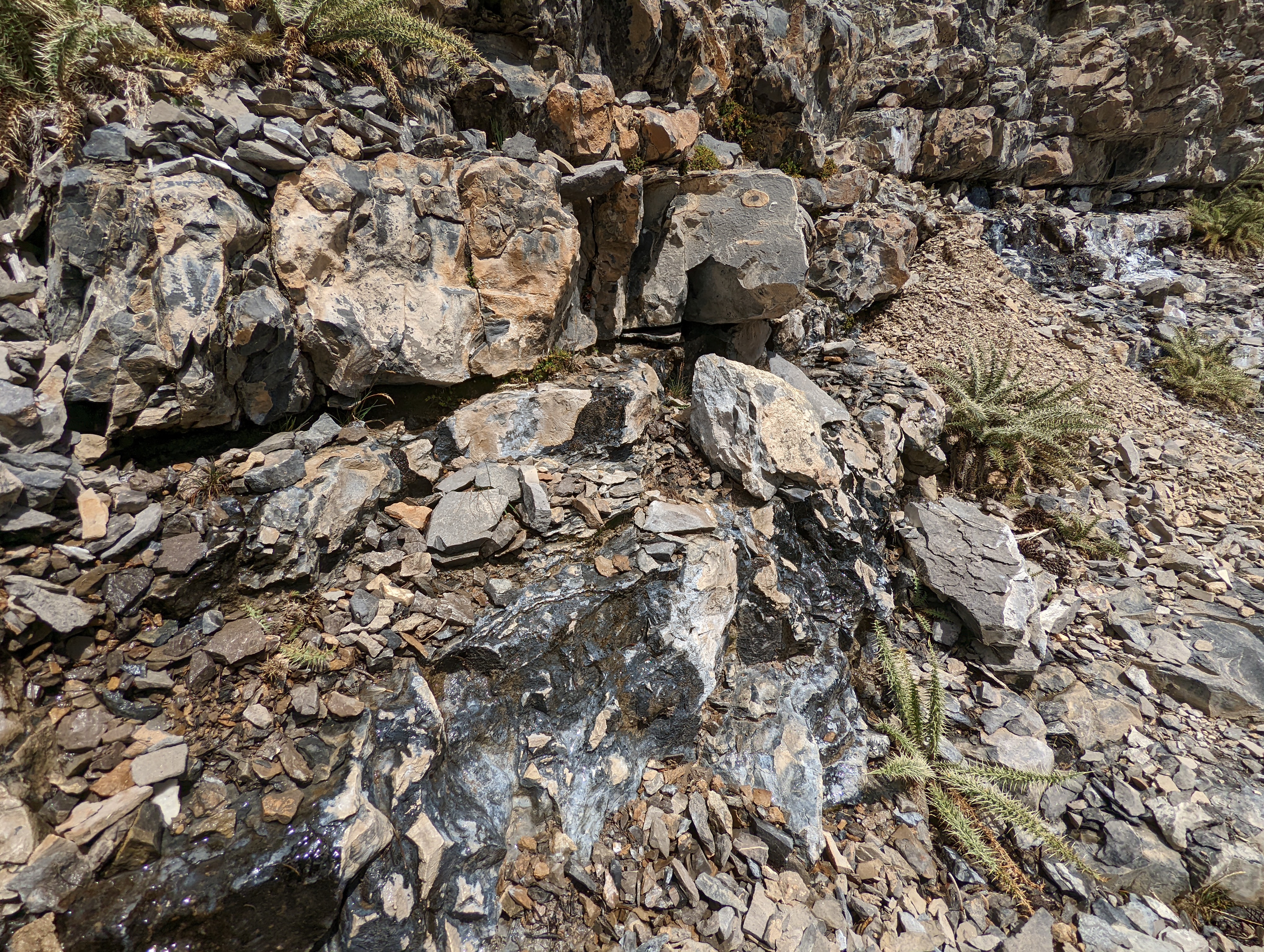
A groundwater seep in the Spring Mountains
The western US has experienced the largest 20th century snowpack declines on Earth and has recently been identified as a global snow drought hot spot. Given that up to 75% of the water supply in the west comes from snowmelt-derived runoff, these declining snowpack accumulation patterns have significant implications for our ecosystem demands. This is further exacerbated by the ongoing megadrought, which has gripped the southwestern US over the past 22 years. In fact, recent research shows that the 2000-2021 period was the driest over the last 1,200 years (since 800 CE), with no signs of slowing down.
So, what does this mean for our fragile desert ecosystems, like the Amargosa River Basin? The observed trends in declining snowpack are only expected to worsen given the projections of a hotter and drier future. This leads to consequences for groundwater recharge, and ultimately, effects the habitat which nearly 50 endemic species call home.
On-the-ground restoration efforts, long-term monitoring, and continued education are essential to protect this vulnerable resource. It is now more than ever that we advocate for, and immerse ourselves in, the work to conserve the Amargosa River Basin.
Have an article in mind for the AC Blog? Contact us at info@amargosaconservancy.org
Resources:
1 Larsen, Daniel, George H. Swihart, and Yingkai Xiao. “Hydrochemistry and isotope composition of springs in the Tecopa basin, southeastern California, USA.” Chemical geology 179.1-4 (2001): 17-35.
2Burchfiel, B. C., et al. “Geology of the Spring Mountains, Nevada.” Geological Society of America Bulletin 85.7 (1974): 1013-1022.
3 Winograd, Isaac J., Alan C. Riggs, and Tyler B. Coplen. “The relative contributions of summer and cool-season precipitation to groundwater recharge, Spring Mountains, Nevada, USA.” Hydrogeology Journal 6.1 (1998): 77-93.
4 Warix, Sara R., et al. “Groundwater geochemistry and flow in the Spring Mountains, NV: Implications for the Death Valley regional flow system.” Journal of Hydrology 580 (2020): 124313.
5 Huning, Laurie S., and Amir AghaKouchak. “Global snow drought hot spots and characteristics.” Proceedings of the National Academy of Sciences 117.33 (2020): 19753-19759.
6 Williams, A. Park, Benjamin I. Cook, and Jason E. Smerdon. “Rapid intensification of the emerging southwestern North American megadrought in 2020–2021.” Nature Climate Change 12.3 (2022): 232-234.